Preparing the map for design purposes with the use of the photogrammetry method
Preparing the map for design purposes with the use of the photogrammetry method
Upon the commission of PKP Polskie Linie Kolejowe S.A., we have prepared a map for design purposes with the use of the photogrammetry method for the project TEN-T 2004-PL-92601-S “Modernisation of the railway line E 30 in the section Kraków – Medyka – State Border”.
We have assumed a uniform and stable geodetic control network and prepared geodetic materials for the modernisation of the railway line E 30 in the sections Kraków – Tarnów and Rzeszów – Medyka – State Border.
The geodetic control network in the form of GPS points with the accuracy of class I and II of basic geodetic control network and sequences of network points constitutes the reference system for the purpose of preparing, conducting and stock-taking of the investment and its future use.
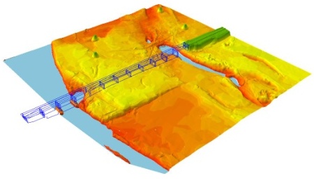
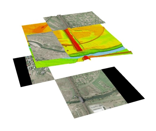
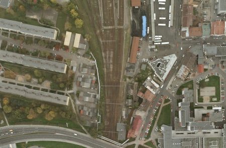
While preparing geodetic materials, we have created an orthophotomap in the scale 1:500 and the Digital Terrain Model (DTM). We have also drafted a 3D planimetric and contour map with underground area infrastructure and land register for the design purposes in the scale 1:500 on the basis of the orthophotomap and direct supplementary measurements. We have executed a profile of a railway line. These materials are necessary for the construction design, execution and stock-taking of the investment and later use of the modernised railway line.


Fragment of ortophotomaps

Fragment of ortophotomaps