NMT
DTM for modelling flood dangers – ST. Gallen (Switzerland)
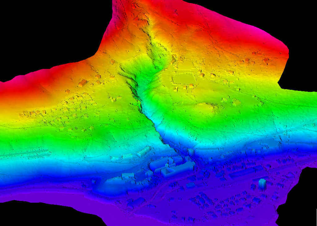
This project was aimed at elaborating data of the Digital Terrain Model for the river’s catchment area so as to model the danger of flooding.
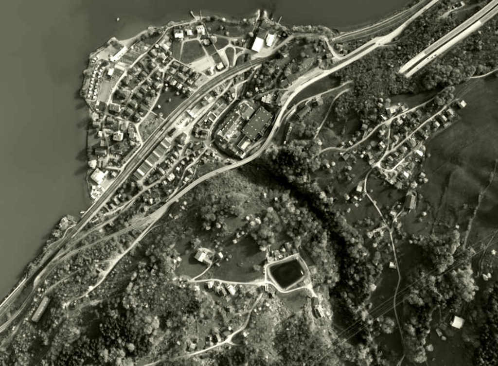
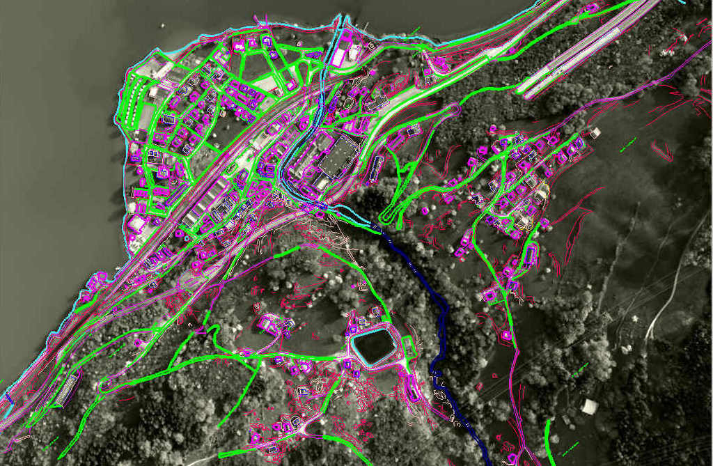
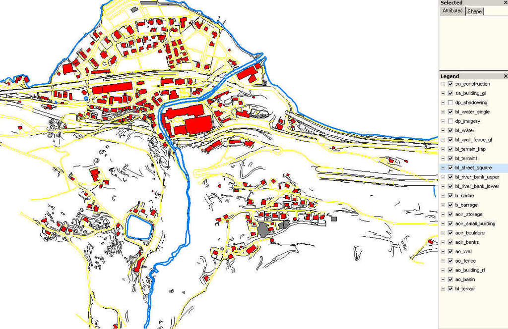
The project was executed on the basis of the photogrammetric flight and photos from a frame digital camera UltraCam Vexcel as well as LIDAR data. The examined area covered 33147 ha and the scale of the map was 1:2000. We obtained data of the Digital Terrain Model with the accuracy 0.1m, 0.15m and 0.3m, depending on the location and meaning of elements. We specified land discontinuity lines, elements of hydrology and obstacles to flooding water. The collated data enabled the analysis in terms of flooding danger. The data was used to supply to the SmallWorld system.

Excerpt from the digital camera pictures framed UltraCam Vexcel

Vector Data Visualization

Shapefile
