Orthophotomap of Paris
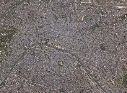
Orthophotomap of Paris
We have prepared a digital orthophotomap of the terrain covering 12.5 cm pixel for the agglomeration of Paris, based on digital aerial photos and the digital terrain model in LIDAR technology. The area covered 7100 km2. The project was executed in cooperation with partner companies in 2005.

View of the center

Paris, Eiffel Tower

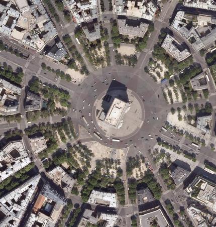
Arc de Triomphe