Preparing data for the Integrated System of Information
Preparing data for the Integrated System of Information on the Property of an energy company – Portugal
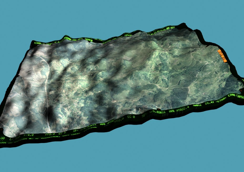
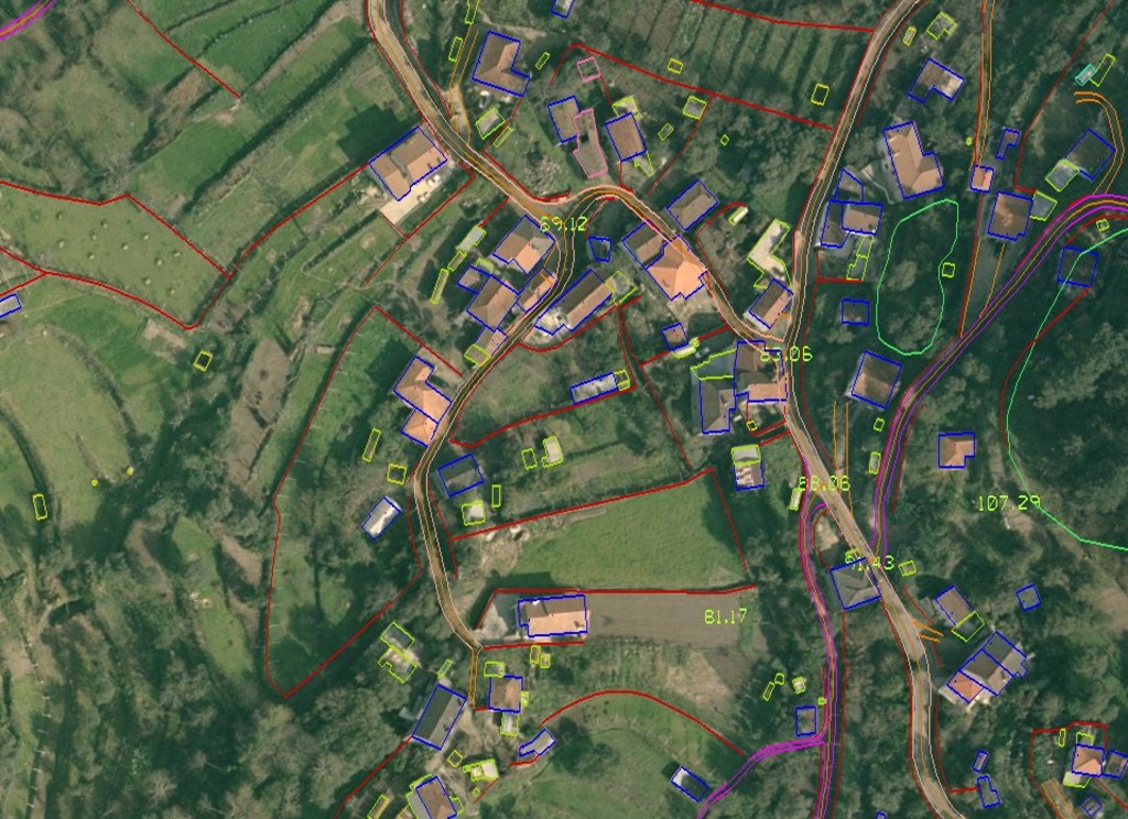
We have obtained data for the Integrated System of Information, using photogrammetic methods and on the basis of the photogrammetric flight. The project covered 577,000 ha. We have used scanned photos from an analogue camera. Works involved obtaining DTM data, creation of a contour map and finding vector data for theme overlays, e.g. buildings and structures, roads and railways, hydrology and land use.
We have created the database of the SmallWorld system, designed taking into account the needs of businesses from the telecommunications, municipality and public utility branches.
Project accuracy:
| Skale | DTM accuracy | Contour interval |
|---|---|---|
| 1:1000 | 0,2 m | 1 m |
| 1:2000 | 0,4 m | 2 m |
| 1:5000 | 1 m | 5 m |

Visualization of Digital Terrain Model

Vector Data Visualization

Visualization of hydrological networks

Visualization of the road network and buildings