Liguria, Veneto, Calabria, Marche
Liguria, Veneto, Calabria, Marche (Italy)
In the period 2008-2010 we elaborated data for environmental studies for the province of Friuli. On the area of 3620km2, we conducted laser scanning of the accuracy RMSE(z)<0.15m and point density 5 points/m2. The final products delivered to the client were: the filtrated point cloud, DTM and orthophotomap with the resolution of 0.2m.
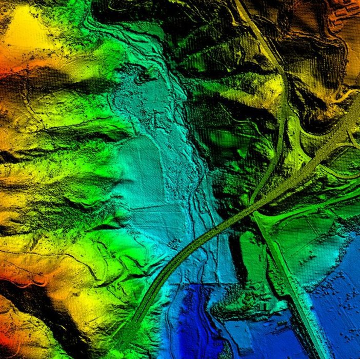
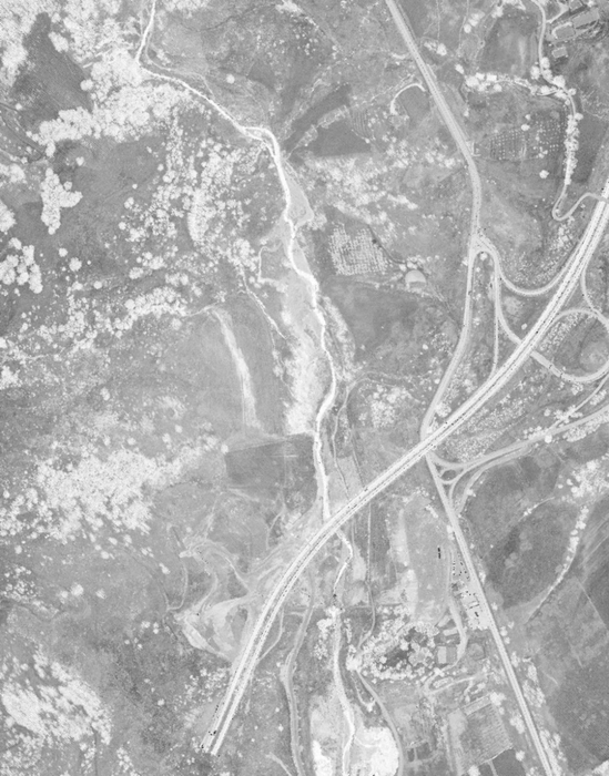
The project was aimed at preparing data for the purpose of anti-flooding studies for Italian provinces. The project covered the area of 4660 km2. We used data from the aerial laser scanning that was characterised by accuracy RMSE(z)<0.15m and density 2.5pkt/m2.
The following were the end products:
- filtrated cloud of points,
- DSM data of “the last reflection” GRID 1m
- DSM – referring to the space of the area together with the elements protruding beyond it – data of “the first reflection” GRID 1m
- DTM GRID 1m
- Lidar intensity images with 1m pixel. The power of the recurring signal can be used to recognise the contents of the analysed scenes.

NMPT – GRID 1m

Lidar intensity images – piksel 1m