Abrazzo-L'Aquila
- Abrazzo-L'Aquila Abrazzo-L'Aquila
Abrazzo-L’Aquila (Italy) – inventory of earthquake destructions
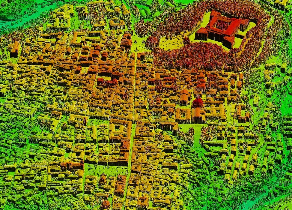
Our company has prepared data for the inventory of destructions caused by the earthquake in Abruzzo of April 2009. The registration and evaluation of destructions following natural disasters belongs to typical modes of applying laser scanning. This non-invasive examination method provides exact data on the terrain and buildings as well as vegetation found thereon. What is more, this technique can supplement aerial imaging, e.g. in the course of producing an orthophotomap.
Scanning was executed on the area of 650 km2. The points were characterised by the accuracy RMSE(z)<0.15m and density 5 pkt/m2. The filtrated cloud of points was used to construct the Digital Terrain Model. We also executed the orthophotomap with the resolution 0.2m.

Fragment of the old town of L’Aquila