Digital Terrain Model (DTM) and Digital Surface Model (DSM)
Digital Terrain Model (DTM) and Digital Surface Model (DSM)
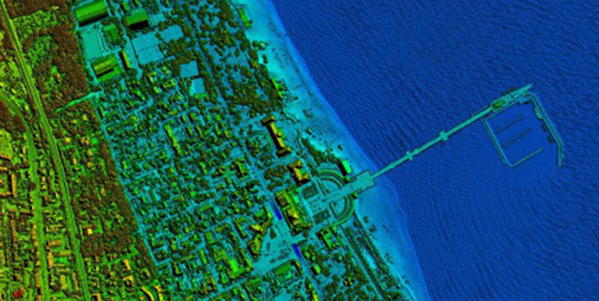
Digital Terrain Models are a necessary source of data used in zoning and decision-making processes related to the widely understood area management, road infrastructure, construction and maintenance of anti-flooding systems, environmental protection, etc. Digital Surface Models show not only such elements as buildings and vegetation. They are also used in urban planning, telecommunication or in the creation of acoustic maps.
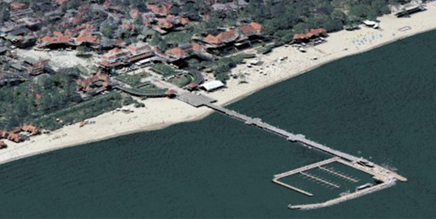
Depending on design requirements in the production of DTM and DSM, we use photogrammetric methods, air laser scanning or the combination of the two technologies. We are also experienced in the use of the unique technological solution known as “lidargrammetry” that enables the stereoscope processing of LiDAR data on photogrammetric stations.