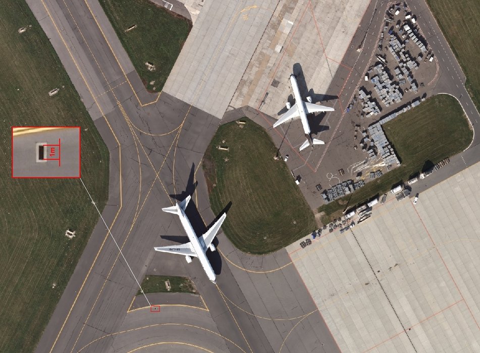
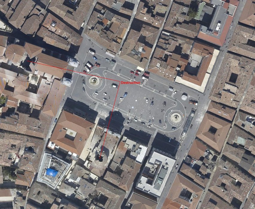
Orthophotomap
Orthophotomap
As a product with the characteristics of a map and an aerial photo, it can be used in many fields as a valuable source of information. The wide use of an orthophotomap makes this product belong to the most often obtained products for:
- Spatial planning
- Modernisation of land registers
- Construction of databases of the land parcel identification system (LPIS)
- Base platform for the structure of SIP data
- Analysis of changes resulting from natural disasters (earthquakes, floods)
- Inventory of changes occurring in the natural environment
- Detecting land violation
- Internet tracers
Our company has been delivering complex products, from aerial photos, through the Digital Terrain Model and finally an orthophotomap. Thanks to the use of the latest technologies, we are also able to prepare an orthophotomap of any region of the world and thus obtain a product of the best accuracy possible.