Building databases of the Information System
Building databases of the Information System for the Bielsko District (SioT)
Upon the commission of the District Starosty Office in Bielsko-Biała, we have created a master vector map in the 2000 layout for the Bielsko district, on the basis of vector bases existing in the documentation centre. We have also used archive studies and scans of analogue maps.
The project involved the creation of geospatial data for the Emergency Management Department and the transformation of the existing vector and analogue data for the Department of Spatial Management, Environmental Protection, Agriculture and Forestry.
The first part of the project involved the construction of KsiT databases, i.e. reference data for the SioT Information System. For 12 municipalities, we created a major vector map in the basic scale of 1:500 and partly a map of objects for the area of the Bielsko district. When creating the map, we used the available numerical data from direct measurements, available industry-specific data for gas, sewage and water networks, archive studies and scans of paper originals and matrixes of analogue master maps.
The second part consisted in the construction of geospatial databases for the Information System SIoT. In the standards of the Geographic Information System we designed a graphic layout for the Emergency Management Department. It involved:
a. areas in danger of flooding,
b. location of rescue services,
c. tourist infrastructure,
d. address base: historical monuments, hotels, warehouses and fire-fighting tanks.
The effects of our works also include the spatial management plans and simplified plans of forest arrangement for the needs of the Department of Spatial Management, Environmental Protection, Agriculture and Forestry.
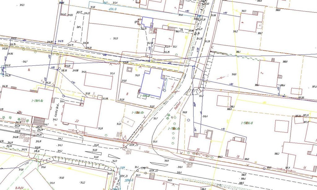
Fragment of a vector map
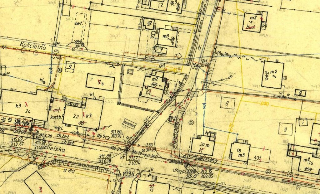
Raster
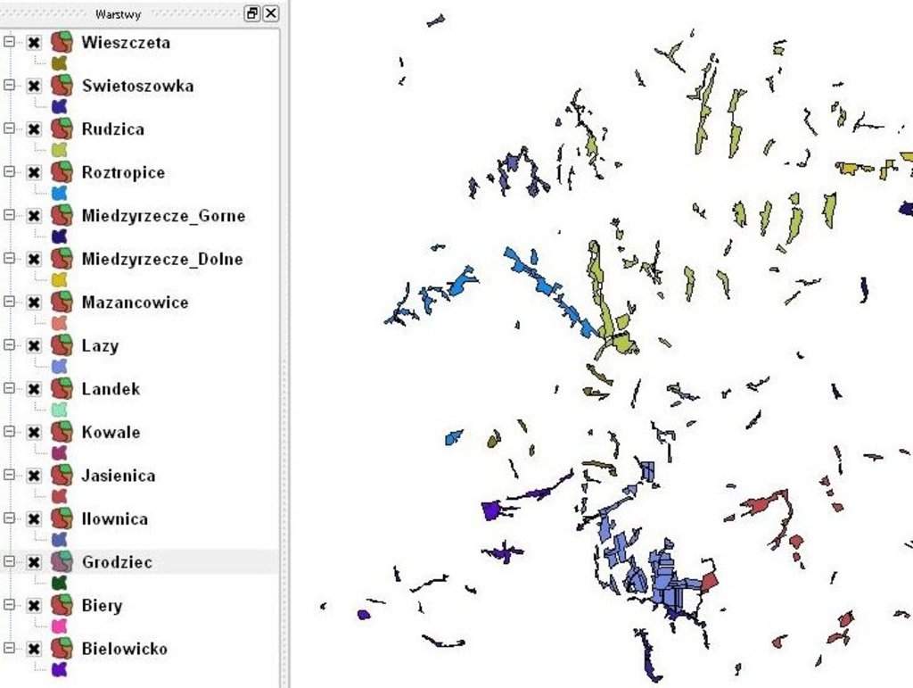
Sample graphic layers for UPUL
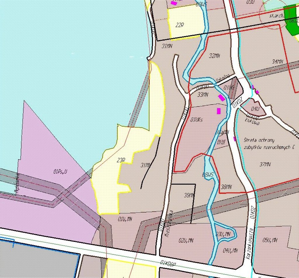
Fragment of the Local Spatial Development Plans
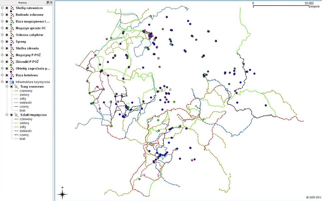
Sample graphic layers on the needs of the Department of Emergency Management