Projects
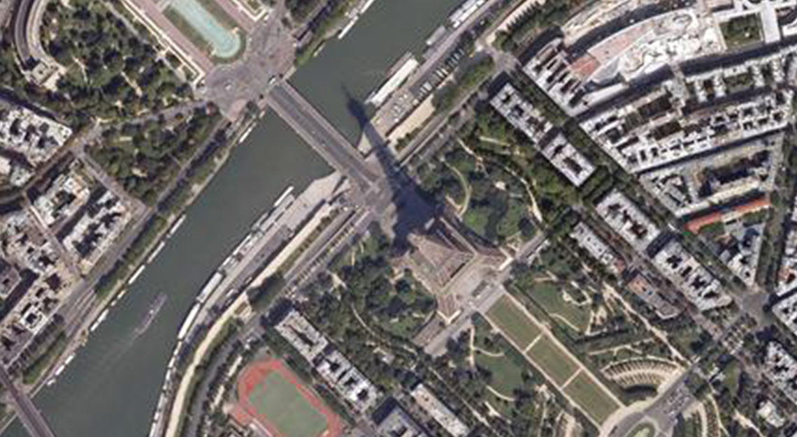
Orthophotomap of Paris
We have prepared a digital orthophotomap of the terrain covering 12.5 cm pixel for the agglomeration of Paris, based on
READ MORELiguria, Veneto, Calabria, Marche
In the period 2008-2010 we elaborated data for environmental studies for the province of Friuli. On the area of 3620km2,
READ MORE
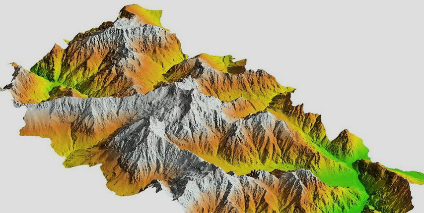
Lidar studies for environmental studies
In the period 2008-2010 we elaborated data for the purpose of environmental studies of the province of Friuli. We carried
READ MORE