Projects
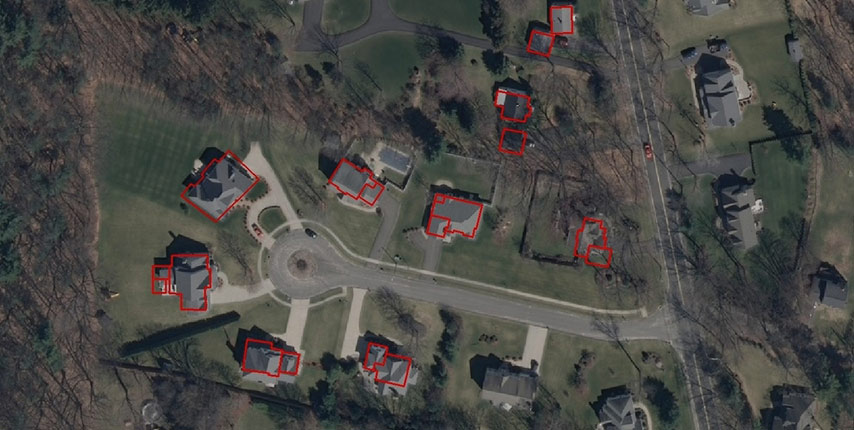
Updating of ArcGIS database for Springfield (USA)
We have updated the database of the Geographic System of Spatial Information. The project was to involve entering the data
READ MOREPreparing the map for design purposes with the use of the photogrammetry method
Upon the commission of PKP Polskie Linie Kolejowe S.A., we have prepared a map for design purposes with the use
READ MORE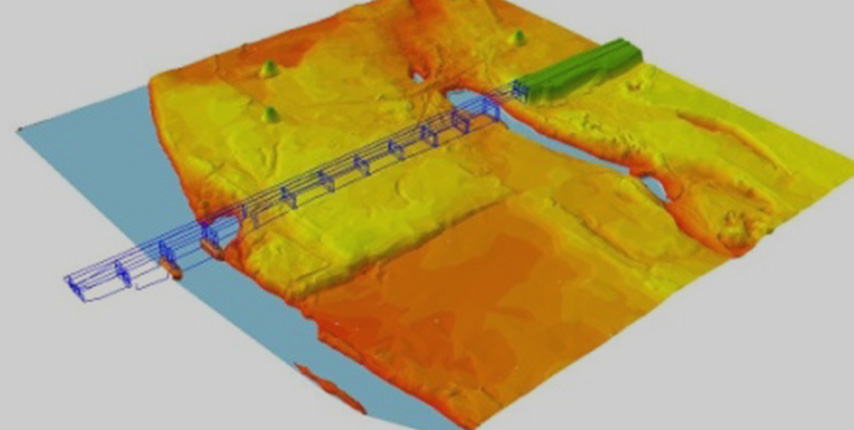
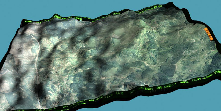
Preparing data for the Integrated System of Information
We have obtained data for the Integrated System of Information, using photogrammetic methods and on the basis of the photogrammetric
READ MORE